
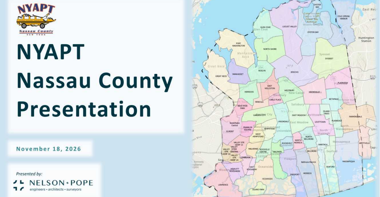
On November 18, NYAPT members welcomed Russell Z. Scott, PE, Senior Partner, and Dan Freeman, Senior Engineer, of Nelson + Pope for a presentation on how GIS mapping can support school transportation. Their walkthrough of ArcGIS Pro showed how districts can view schools, boundaries, bus routes, and transportation infrastructure on a single interactive map. They also covered eligibility determination, walking distances, route optimization, and bus stop placement analysis.
Thank you, Russell and Dan, for sharing your time and expertise with our association.
The full presentation can be found at the link below:


